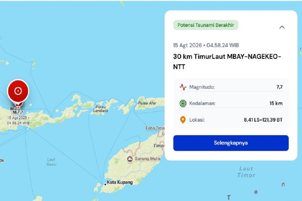
en.malanginspirasi.com – A powerful tectonic earthquake measuring magnitude 7.7 struck northeast of Nagekeo, East Nusa Tenggara (NTT), on Saturday at 04:58 AM Western Indonesia Time (WIB).
Following the quake, the Meteorology, Climatology, and Geophysical Agency (BMKG) officially issued a tsunami early warning for coastal regions across NTT.
According to official data from BMKG, the location of the epicenter was in the sea at a shallow depth of 10 kilometers, at coordinates 8.3 degrees South Latitude and 121.32 degrees East Longitude.
Due to its shallow depth and large magnitude, automated tsunami early warning systems immediately flagged a potential marine hazard.
Authorities continue to monitor sea-level fluctuations using nearby tide gauge stations.
Also Read:
Devastating Magnitude 7.4 Earthquake Leaves Over 180 Dead in Colombia
BMKG assigned a “Standby” (Siaga) threat level and recommended full evacuations for local authorities and residents in high-risk areas, including Northern Manggarai, Northern Ngada, Northern West Manggarai, Northern Sikka, Northern Ende, as well as several regencies in South Sulawesi, such as Selayar Islands, Jeneponto, and Bantaeng.
Tremors from the earthquake were felt across neighboring regions, including Makassar City in South Sulawesi.
Reports indicated mild shaking that caused mosque lamps and water dispensers to sway during dawn prayers.
However, there was no panic condition in Makassar, and coastal waters near the city remained calm.
BMKG strongly urged residents along the affected coastlines to move away from beach areas immediately while following the evacuation routes from the local Regional Disaster Management Agency (BPBD).
Meanwhile, BMKG also advises the public to remain calm, stay alert for potential aftershocks, and avoid unverified rumors.