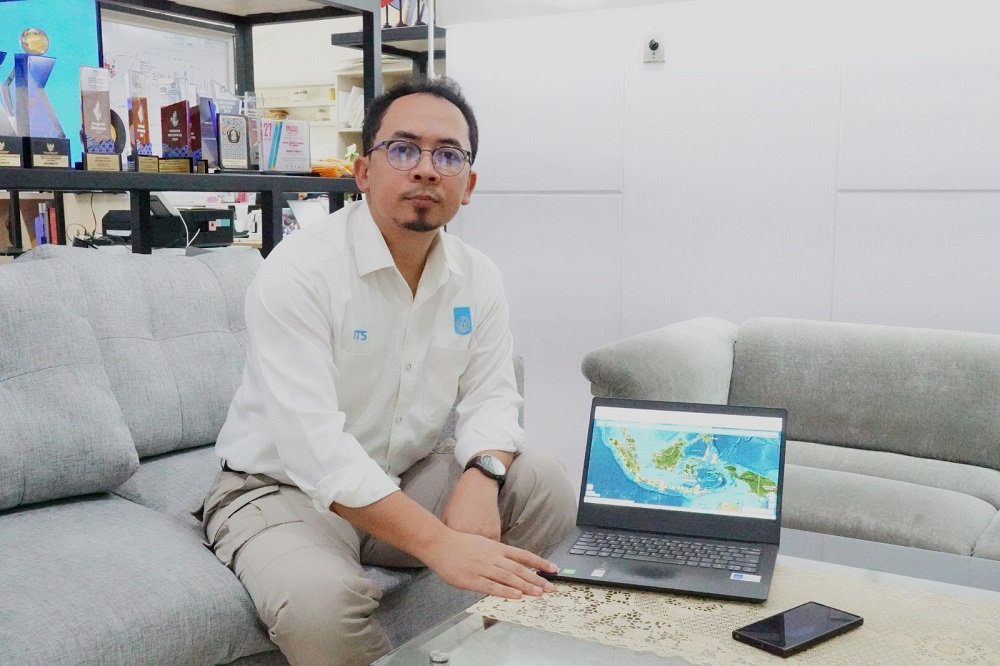
en.malanginspirasi.com – Geologist from Institut Teknologi Sepuluh Nopember (ITS), Dr. M. Haris Miftakhul Fajar, M.Eng., explained that the ongoing volcanic and tectonic activity in Indonesia is a normal phenomenon triggered by high-intensity earth processes.
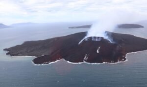
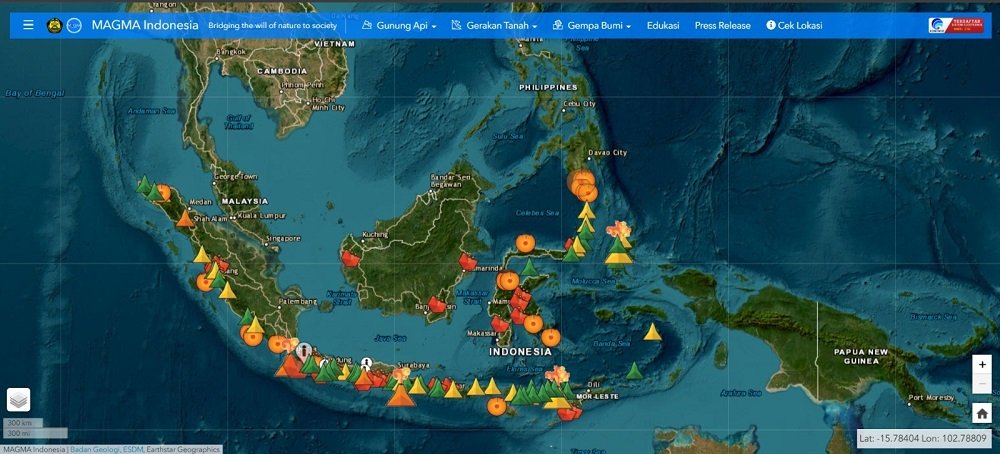
A total of seven volcanoes in Indonesia erupted in relatively close succession last weekend. The series began with the eruption of Mount Anak Krakatau (GAK) in the Sunda Strait on Friday night (Sept 4).
Subsequent eruptions occurred at Mount Ibu in North Maluku, Mount Ili Lewotolok in East Nusa Tenggara (NTT), Mount Lewotobi Laki-Laki in NTT, Mount Sinabung in North Sumatra, Mount Dukono in North Maluku, and Mount Semeru in East Java.
Eruptions occurring within a short timeframe are often perceived as a “domino effect” driven by a single geological factor.
This includes earthquakes and volcanic eruptions spread across various regions of the Indonesian archipelago.
Haris explained that each volcano basically possesses unique characteristics and distinct eruption cycles.
Consequently, their activity patterns cannot be generalized.
Also Read:
“The phenomenon of several volcanoes erupting simultaneously is part of natural dynamics resulting from regional tectonic activity,” Haris clarified.
Furthermore, Haris pointed out that each volcano has an independent magma chamber system, magmatism process, and tectonic profile.
For instance, Mount Semeru and Anak Krakatau are influenced by the interaction of the Indo-Australian Plate subducting beneath the Sunda (Eurasian) Plate. Meanwhile, Mount Ibu features a distinct tectonic system due to double subduction.
On the other hand, Mount Lewotolok exhibits unique traits as it sits near the boundary of a ceased subduction process.
“This condition leaves behind a geological structure in the form of a slab tear in the subducted plate, which provides a continuous supply of magma,” Haris elaborated.
The Head of the ITS Geophysics Department also explained that magma chambers within the Earth work like large, sponge-like cavernous spaces. These large spaces store molten rock originating from deep within the Earth.
Haris noted that the abundant fluid and water vapor content in magma behaves similarly to a carbonated drink inside a sealed bottle. “The higher the gas pressure, the moment the conduit opens, it will trigger an eruption,” he said.
Conversely, a magma chamber will slowly cool down if the magma supply from beneath stops and no further tectonic triggers occur.
This extremely slow cooling process causes specific minerals to crystallize systematically. “As a result, the volcano’s activity will gradually cease on its own without triggering an eruption,” Haris revealed.
Additionally, volcanic eruptions can be triggered by external factors, such as tectonic earthquake shocks that exert pressure on an already full magma chamber. A sudden pressure surge can dislodge the seal or fracture the conduit, triggering an eruption. However, this mechanism is heavily dependent on the distance between the earthquake source and the magma chamber.
Therefore, Haris stated that activity levels vary significantly among volcanoes. Some maintain constant baseline seismicity, while others may remain completely dormant for hundreds of years before reawakening.
Due to these variations, continuous monitoring is conducted and categorized into four alert levels: Normal (Level I), Waspada/Alert (Level II), Siaga/Standby (Level III), and Awas/Caution (Level IV).
These status levels are measured based on seismic monitoring, volcanic deformation, visual observation of eruptive plumes, and geochemical data.
For instance, the eruption of GAK was dominated by Strombolian to Hawaiian eruptive styles, which are relatively moderate in intensity.
However, it had a remarkably long duration, lasting continuously for nearly 25 hours.
This sustained duration caused a continuous release of volcanic ash into the atmosphere, reaching heights of over ten kilometers.
The ash distribution dispersed in two directions: southeast toward Banten, and southwest toward Lampung and into the Indian Ocean.
“This dispersion was also dependent on wind layers at high altitudes, as confirmed by the BMKG Himawari-9 satellite image analysis,” the ITS Geophysics lecturer added.
Haris stressed that volcanic dynamics are natural processes that need to be understood through empirical monitoring data.
A solid understanding of volcanic characteristics plays a critical role in building preparedness against earth dynamics.
This understanding aligns directly with the Sustainable Development Goals (SDGs)—particularly SDG 11, which promotes safe spatial planning outside danger zones and reinforces infrastructure resilience.
Additionally, comprehending volcanic dynamics, magma cycles, and their impacts on surrounding environments supports the conservation of terrestrial ecosystems in line with SDG 15.